
Contributing to clean water globally
We are engineers and scientists who have a passion for clean, sustainable water.
Our clients and partners share our vision for building thriving ecosystems and better places to live.


Our Portfolio
-
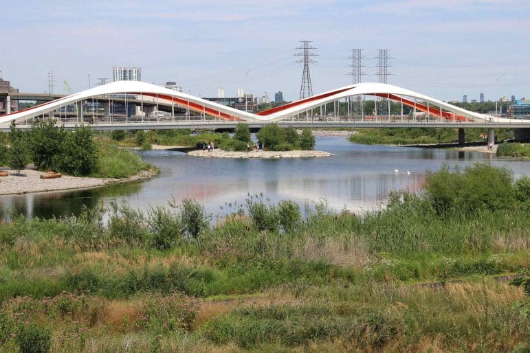
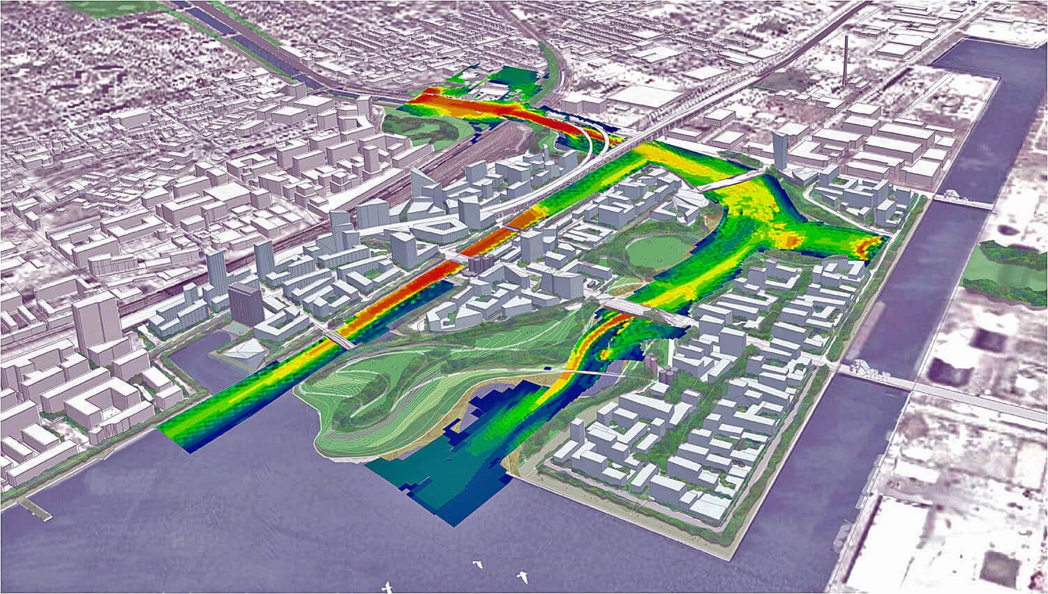
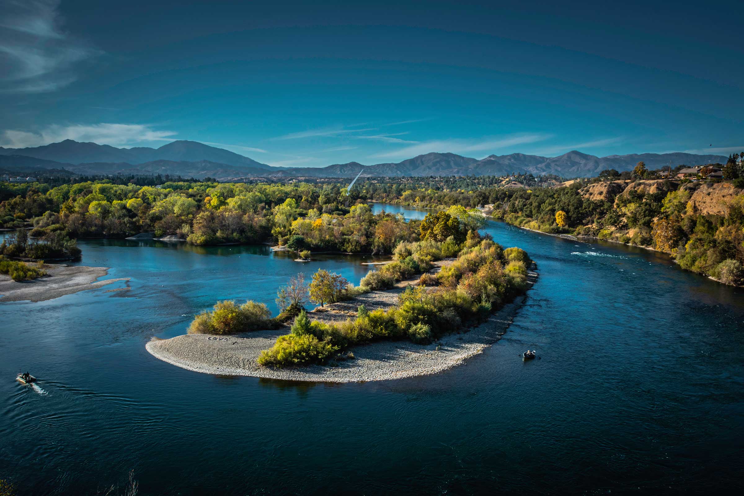
Toronto’s Port Lands Flood Protection and NaturalizationClimate Change Resiliency & Adaptation Hydraulics & Computational Fluid Dynamics Permits & Standards Urban Ecology & Naturalization Urban Revitalization & Green Design Urban Wet Weather Water Quality Monitoring Water Resource Investigation & Management Water Resources Modeling Waterway & Ecosystem Restoration
-
 View Image
Read about this project: Wetland Demonstration To Improve Great Lakes Tributary Water Quality
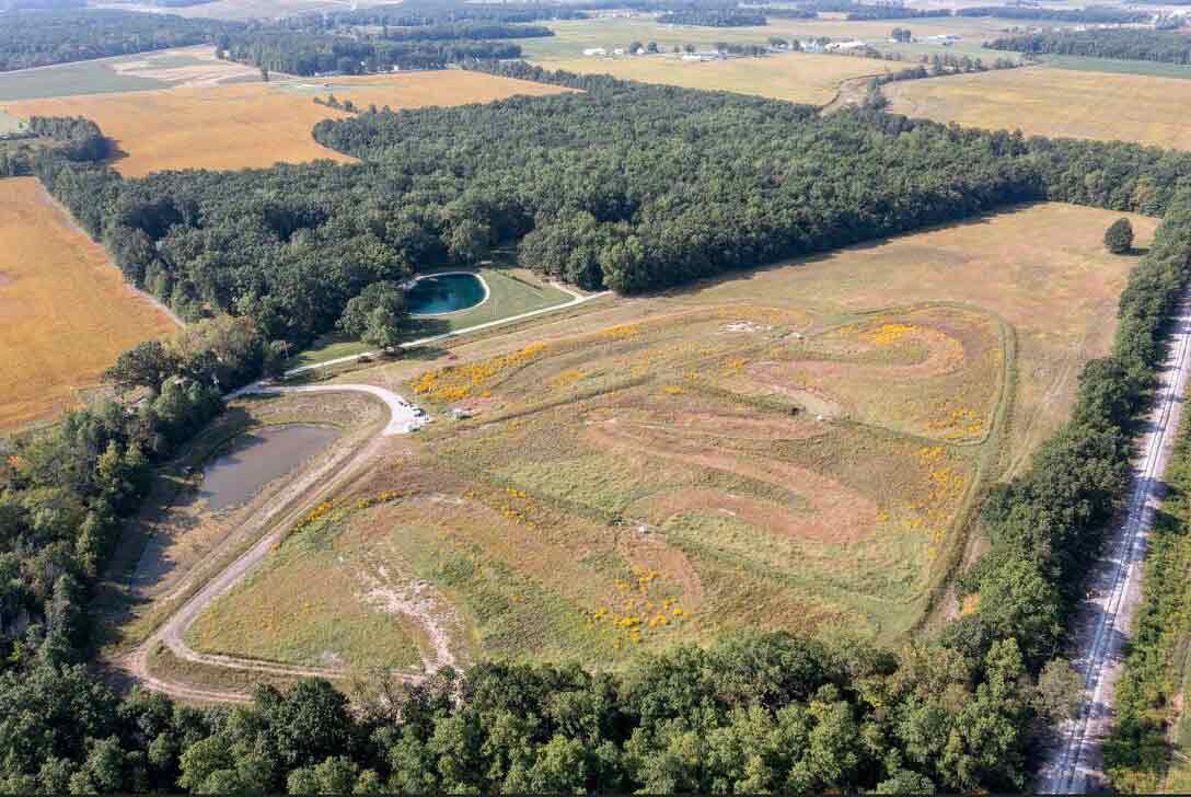
Wetland Demonstration To Improve Great Lakes Tributary Water QualityBiological/Habitat Assessment & Management Climate Change Resiliency & Adaptation Harmful Algal Blooms Sustainable Agriculture Water Quality Monitoring Water Resource Investigation & Management Water Resources Modeling
View Image
Read about this project: Wetland Demonstration To Improve Great Lakes Tributary Water Quality
Wetland Demonstration To Improve Great Lakes Tributary Water QualityBiological/Habitat Assessment & Management Climate Change Resiliency & Adaptation Harmful Algal Blooms Sustainable Agriculture Water Quality Monitoring Water Resource Investigation & Management Water Resources Modeling -
USACE ERDC Engineering With Nature® (EWN®) Program SupportBiological/Habitat Assessment & Management Climate Change Resiliency & Adaptation Urban Ecology & Naturalization Urban Revitalization & Green Design Urban Wet Weather Water Resource Investigation & Management Waterway & Ecosystem Restoration
-
Characterization and Management of PFAS ContaminationAirport Environmental Services Contaminated Sediments Contaminated Sites Emerging Contaminants Groundwater Supply & Remediation Permits & Standards Water Quality Monitoring